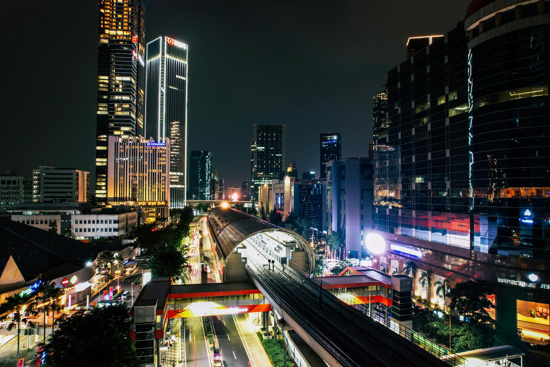
Jakarta covers 660 square kilometers and holds more than 10 million people, and the first thing it does to a new visitor is hide its scale. You land thinking you’ll knock out the sights in an afternoon, then you watch a 5-kilometer hop to dinner eat an hour of your evening. A good Jakarta tourist attractions map isn’t about pretty pins; it’s about not wasting half your trip stuck on Jl. Sudirman. This guide sorts every major sight into walkable clusters by district, tells you how to get between them on the MRT, TransJakarta, and Grab without losing your mind, and lays out ready-made routes for one, two, three, and five days. Keep it open on your phone while you’re here.
How to Read This Jakarta Tourist Attractions Map
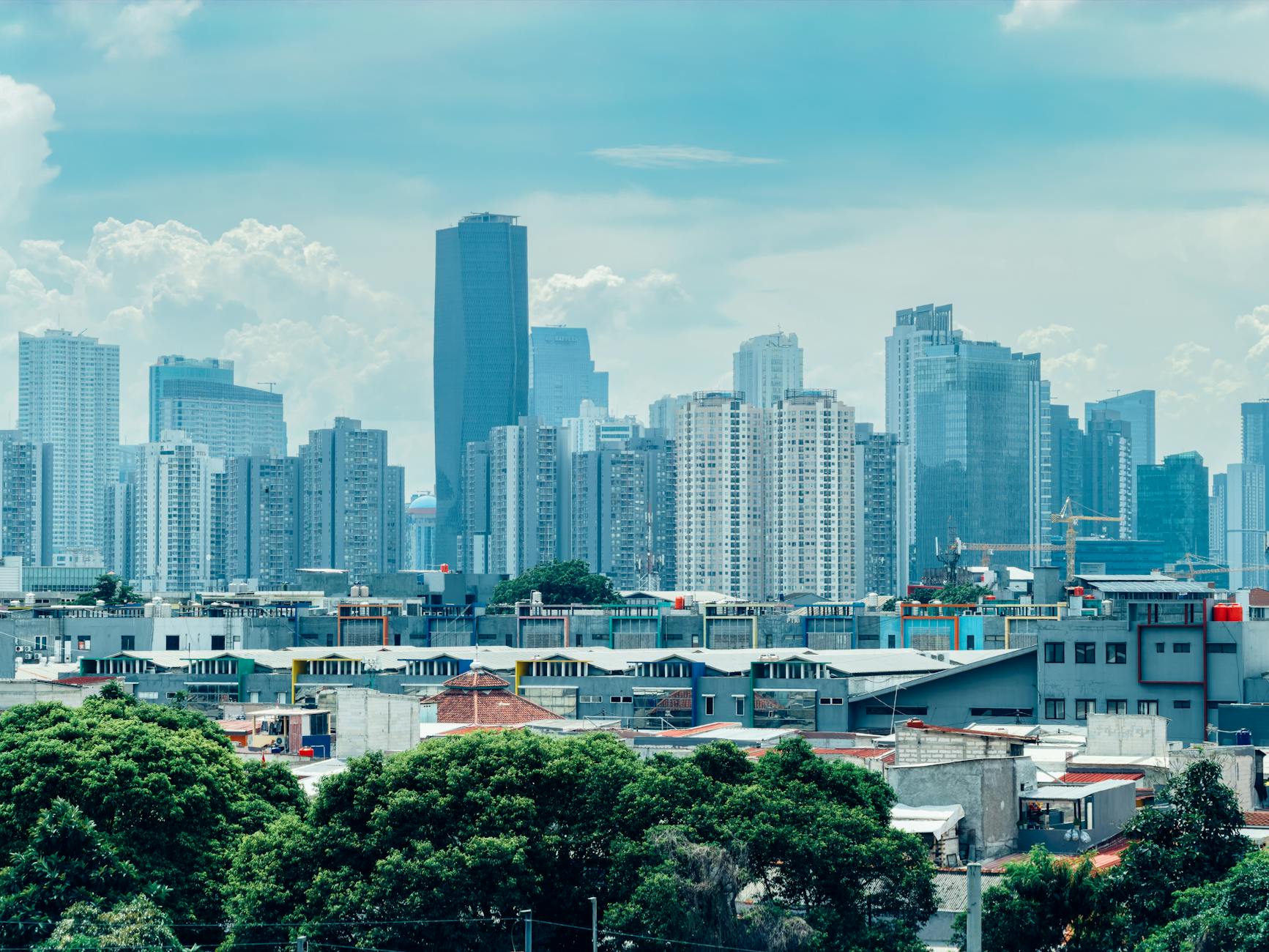
The trick to reading Jakarta is to stop thinking of it as one city and start thinking of it as five. Officially it’s DKI Jakarta, split into five administrative cities — kotamadya — and each one has a different job, which is the same as saying each one collects a different kind of attraction. Once that clicks, the whole map gets easier to hold in your head, and you stop accidentally pairing two sights that are 25 kilometers apart.
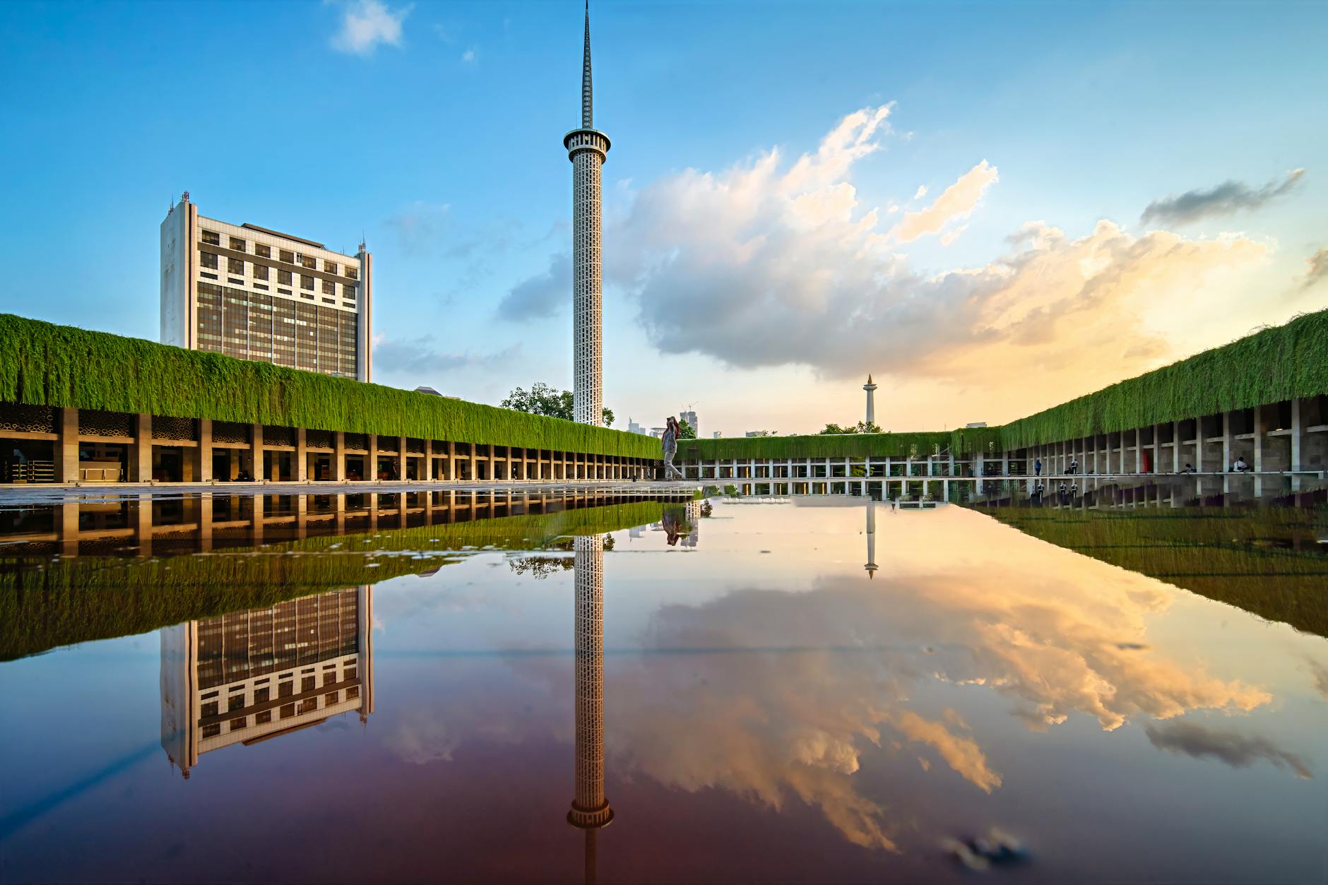
- Central Jakarta (Jakarta Pusat) is the historic and political heart — Monas, Merdeka Square, the presidential palace, the Istiqlal Mosque and Jakarta Cathedral staring at each other across the road, and the Sudirman–Thamrin business-and-shopping spine. Most first-timers spend the bulk of their days here, and it’s where I’d tell you to sleep.
- North Jakarta (Jakarta Utara) is the old port and old town: Kota Tua, Sunda Kelapa, the Maritime Museum, Glodok Chinatown, and the whole Ancol entertainment strip pinned along the Java Sea.
- South Jakarta (Jakarta Selatan) is the money-and-dining district — Senayan with its GBK stadium and top malls, the SCBD office cluster, the Kemang and Cipete eating streets, the Setu Babakan cultural village, and the sprawling Ragunan Zoo.
- East Jakarta (Jakarta Timur) is the largest and most residential of the five. For visitors it really comes down to one big draw: Taman Mini Indonesia Indah.
- West Jakarta (Jakarta Barat) holds part of Kota Tua plus Museum MACAN, the Museum Tekstil, and the enormous Pasar Tanah Abang textile market.
Ringing all of this is the wider Jabodetabek metro region — Bogor, Depok, Tangerang, Bekasi. You’ll care about it for day-trip distances, not for everyday sightseeing, since almost nothing on a tourist’s list sits out there. If you want the texture of each area before you commit to a base, the Jakarta neighborhoods guide walks through them one by one, and the best areas to stay in Jakarta breakdown is worth a look before you book a hotel, because where you sleep quietly decides how much of your day you hand over to traffic.
The Five Clusters at a Glance
Before the cluster-by-cluster detail, here’s the whole map compressed into one table — district, the sights you came for, the nearest rail or BRT stop, and a rough time budget. Use it to sketch the shape of your trip, then read on for the routing specifics.
| District / cluster | Signature sights | Nearest MRT / TransJakarta | Rough time |
|---|---|---|---|
| Central Jakarta | Monas, National Museum, Istiqlal, Cathedral, Bundaran HI | MRT Bundaran HI; TransJakarta Corridor 1 (Halte Monas) | Full day, ideally two |
| North Jakarta | Kota Tua, Sunda Kelapa, Glodok, Ancol Dreamland | KRL Jakarta Kota; TransJakarta Corridor 1 (Halte Kota) | Full day + half-day for Ancol |
| South Jakarta | Senayan/GBK, SCBD, Ragunan Zoo, Setu Babakan | MRT Senayan, Istora, Blok M, Lebak Bulus | Half-day + an evening |
| East Jakarta | Taman Mini Indonesia Indah | TransJakarta Corridor 9 / LRT; mostly Grab | Half to full day |
| West Jakarta | Museum MACAN, Museum Tekstil, Pasar Tanah Abang | KRL Tanah Abang; Grab for MACAN | Half-day |
Cluster 1: Central Jakarta — The Historic Core
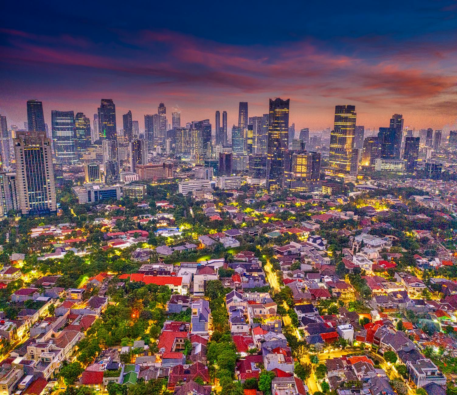
Central Jakarta packs more must-see attractions into a smaller footprint than anywhere else in the city, and that density is exactly why it’s the easiest place to start. The patch around Merdeka Square alone holds Monas, the National Museum, the Independence Palace (Istana Merdeka), and the Arjuna Wijaya statue. Walk 15 minutes east and you hit the Istiqlal Mosque and Jakarta Cathedral facing off across Lapangan Banteng. Drop 10 minutes south and you’re at Tugu Tani and the leafy embassies of Menteng. The Sudirman–Thamrin spine — running south-southwest from Bundaran HI past Plaza Indonesia, Grand Indonesia mall, and Wisma 46 — is genuinely walkable, with wide sidewalks linking everything.
A note on the geometry that the maps don’t make obvious: Monas sits roughly 2 kilometers north of the MRT at Bundaran HI, so from that station it’s a 20-to-25-minute walk or one stop on TransJakarta Corridor 1 to Halte Monas. The mosque-and-cathedral pair is another easy walk from Merdeka Square’s northeast corner. So a Central Jakarta day is mostly your own two feet plus one or two short Grab hops to stitch the far points together — Monas across to Tugu Proklamasi, say, which is too far to enjoy on foot in the heat.
Attractions in this cluster:
- National Monument (Monas)
- National Museum of Indonesia
- Istana Merdeka (Independence Palace)
- Istiqlal Mosque
- Jakarta Cathedral
- Tugu Proklamasi (Proclamation Monument)
- Tugu Tani (Farmer Monument)
- Selamat Datang Monument at Bundaran HI
- Arjuna Wijaya Chariot Statue
- Grand Indonesia mall
- Plaza Indonesia mall
- Hotel Indonesia Kempinski
Allocate: a full day, two if you want to do the museums properly. Best on foot, with a short ride-hailing hop or two between the distant points. Several of these are also the backbone of the city’s 15 must-see landmarks, and if you’d rather skip the entry fees, a surprising number of them turn up on the free things to do in Jakarta list.
Cluster 2: North Jakarta — Kota Tua and the Old Port
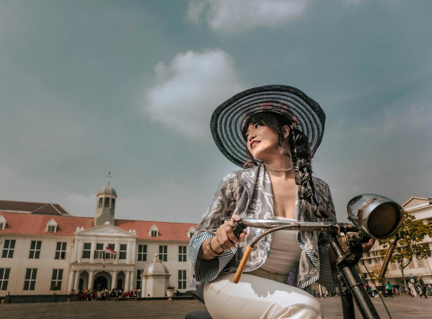
The North Jakarta cluster centers on Kota Tua (Old Town) and runs 1.5 kilometers north to the working Sunda Kelapa port. Getting here is the easy part: the KRL commuter line drops you at Jakarta Kota station, about 100 meters from Fatahillah Square, and TransJakarta Corridor 1 (the Blok M–Kota line) ends at Halte Kota a short walk away. Coming from Central Jakarta, the standard move is MRT to Bundaran HI, then Corridor 1 north to Halte Kota — slower than the map suggests on paper, but it skips the worst of the surface jams. The walk from Kota Tua up to Sunda Kelapa is too long for the tropical heat at about 45 minutes, so most people grab a car between the two for IDR 20,000–30,000.
Both pockets are stuffed with sights sitting close together. Four major museums — the Jakarta History Museum, Wayang Museum, Fine Arts and Ceramics Museum, and Bank Indonesia Museum — ring Fatahillah Square within an easy stroll. Café Batavia and Toko Merah keep the colonial atmosphere alive in buildings that still work for a living. Sunda Kelapa adds the wooden phinisi schooners, the Maritime Museum, and the leaning Menara Syahbandar tower. East of Kota Tua, the Glodok Chinatown district unspools 2 kilometers of narrow alleys, century-old shophouses, the 17th-century Jin De Yuan temple, and the Petak Sembilan and Petak Enam markets — and it doubles as some of the best eating in the city, which the Jakarta hidden gems roundup gets into. North along the coast, Ancol Dreamland stacks family attractions in one gated zone: Dunia Fantasi theme park, Ocean Dream Samudra, Sea World Ancol, Atlantis Water Adventures, and the Pasar Seni art village.
Attractions in this cluster:
- Kota Tua / Fatahillah Square
- Stadhuis (Jakarta History Museum)
- Wayang Museum
- Fine Arts and Ceramics Museum
- Bank Indonesia Museum
- Café Batavia
- Toko Merah
- Sunda Kelapa harbor
- Maritime Museum
- Menara Syahbandar
- Glodok / Petak Sembilan
- Jin De Yuan temple
- Ancol Dreamland (Dunia Fantasi, Sea World, Atlantis, etc.)
Allocate: a full day for Kota Tua + Sunda Kelapa + Glodok, plus a half-day or full day for Ancol if you’ve got kids in tow. If you do, the things to do in Jakarta with kids guide maps the family wins across both this cluster and the city.
Cluster 3: South Jakarta — Senayan, SCBD, and Setu Babakan
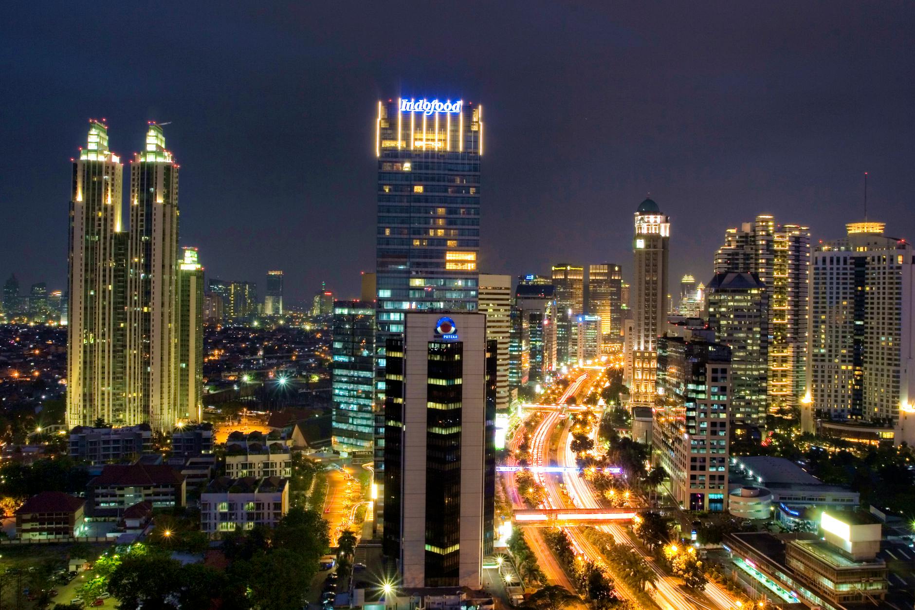
South Jakarta is where the city’s money and its better dinners live, and it rewards anyone staying more than a couple of days. The Senayan sub-district hangs off Gelora Bung Karno Stadium (GBK) and is wrapped in Plaza Senayan, Senayan City, FX Sudirman, and Pacific Place — the premier shopping-and-dining cluster. Just south, the SCBD (Sudirman Central Business District) gathers Pacific Place, the Ritz-Carlton, and the head offices of Indonesia’s banks. The thing that makes this cluster easy is the MRT: the north-south line strings together Senayan (GBK and Plaza Senayan), Istora Senayan, Blok M, and Lebak Bulus, so you can move down the spine without ever touching the gridlock above.
Further south sit the dinner-and-cocktails strips of Kemang and Cipete, the 140-hectare Ragunan Zoo with its orangutans and Sumatran tigers, and at the very edge, the Betawi heritage village of Setu Babakan. Worth knowing: Ragunan and Setu Babakan sit beyond the MRT’s southern end at Lebak Bulus, so you’ll finish those last few kilometers by Grab. Pair them in a single morning to avoid backtracking. If South Jakarta ends up being your scene — and for a lot of repeat visitors it is — the local where-to-stay calculus makes the case for basing yourself around Senayan or Kebayoran Baru.
Attractions in this cluster:
- Gelora Bung Karno Stadium
- Plaza Senayan, Senayan City, Pacific Place malls
- Pancoran Statue (Patung Dirgantara)
- Patung Pemuda Membangun
- Pondok Indah Mall
- Ragunan Zoo
- Setu Babakan Betawi cultural village
- Kemang and Cipete dining districts
- SCBD area attractions
- SKYE Bar and other rooftop venues
Allocate: a half-day for Ragunan and Setu Babakan together, plus a separate evening for Senayan/SCBD dining and rooftop bars. Connections inside the cluster are painless via MRT (six stations between Bundaran HI and Lebak Bulus) and Grab. The rooftop scene here is the heart of any night out in Jakarta, so it’s an easy spot to bookend a day that started up north.
Cluster 4: East Jakarta — Taman Mini Indonesia Indah
East Jakarta is the biggest and most residential of the five, but for visitors it comes down to one attraction worth the trek out: Taman Mini Indonesia Indah. The 250-hectare cultural park holds full-scale replicas of traditional houses from all 38 Indonesian provinces, plus 17 specialty museums — the standouts being the Museum Indonesia, the Asmat Museum, and the Sport Museum. A man-made lake shaped like the Indonesian archipelago sits at the center, and you can ride a cable car over it for what amounts to a literal aerial map of the country. It’s a lot of Indonesia in one afternoon, which is the whole point.
Other East Jakarta footnotes include Halim Perdanakusuma Airport (the secondary domestic field) and the Jakarta International Equestrian Park, but most international visitors treat TMII as a half-day run and head back to Central or South Jakarta afterward. Getting there is mostly a Grab job — 45 to 60 minutes depending on how the day’s traffic is breaking — though TransJakarta Corridor 9 and the LRT reach the general area if you’d rather ride the network.
Attractions in this cluster:
- Taman Mini Indonesia Indah (TMII)
- Museum Purna Bhakti Pertiwi
- Indonesian Sport Museum
- Mosque of Taman Mini
Allocate: a half-day to a full day. Easiest by ride-hailing from Central or South Jakarta (45–60 minutes depending on traffic).
Cluster 5: West Jakarta — Contemporary Art and Textiles
West Jakarta blends part of historic Kota Tua with big wholesale markets and the city’s leading contemporary art space. Museum MACAN, in the AKR Tower, is Indonesia’s top modern-art museum, and the dedicated children’s room makes it a quiet family win as well — it sits a bit off the rail network, so plan on a Grab to reach it. The Museum Tekstil in Tanah Abang keeps more than 2,000 traditional Indonesian fabrics and runs hands-on batik workshops, with the KRL stopping at nearby Tanah Abang station. The vast Pasar Tanah Abang textile market right beside it can eat a whole afternoon on its own, and Pasar Asemka and Mangga Dua round things out with cheap electronics and accessories. None of this is on the tourist trail by accident — it’s where Jakarta actually shops.
Attractions in this cluster:
- Museum MACAN
- Museum Tekstil
- Pasar Tanah Abang
- Mangga Dua market
- Taman Anggrek Mall
- Pasar Asemka
Beyond the City: The Thousand Islands and Jabodetabek Day Trips
One of Jakarta’s most underrated assets is how close it sits to mountains, beaches, and tropical islands. The Thousand Islands archipelago — a string of 110 small coral islands — is just 60–90 minutes by speedboat from Marina Ancol in North Jakarta. South of the city, the cool volcanic town of Bogor (1 hour by KRL commuter train) holds the famous Bogor Botanical Gardens and leads up to the hill resort of Puncak. The old city of Bandung is a 2-hour fast-train ride south. For the full lineup with timings and costs, the best day trips from Jakarta guide does the legwork.
How to Move Between Clusters
Stitching the clusters together efficiently is the real planning problem in Jakarta — the sights are easy, the gaps between them aren’t. Five systems do the work, and the skill is knowing which one to reach for at which time of day. For the deep version of all of this, the getting around Jakarta guide is the companion piece to this map.
Jakarta MRT (Mass Rapid Transit)
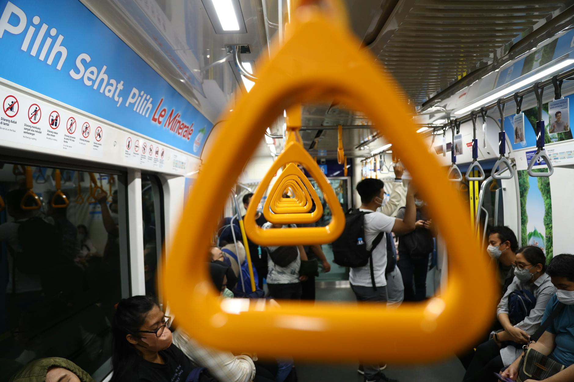
Jakarta’s MRT runs 16 km along a single north-south line from Lebak Bulus in deep South Jakarta up to Bundaran HI in the heart of Central Jakarta, and along that corridor it’s simply the fastest thing going — it ignores every traffic light on the surface. It stops where you want it most: Senayan (GBK and Plaza Senayan), Istora Senayan, Bendungan Hilir, Setiabudi, Dukuh Atas (where it meets the KRL), and the main retail-business hubs. A single ride is IDR 4,000–14,000 by distance, trains run 5:00 AM to midnight every 5–10 minutes, and the whole thing is clean and air-conditioned. The catch is what it doesn’t reach — Kota Tua, Monas, Istiqlal, and Ancol all sit off the line, so you’ll pair the MRT with TransJakarta or a Grab to close that gap. The full station list and the airport-link details live in the Jakarta MRT guide.
TransJakarta Bus Rapid Transit
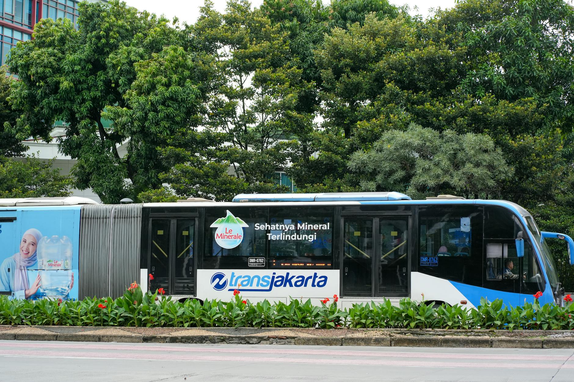
The world’s longest BRT system, TransJakarta covers more than 250 km of dedicated bus lanes and reaches nearly every corner the MRT misses — which is exactly why it’s the tourist’s other workhorse. The corridors that matter most are Corridor 1 (Kota Tua to Blok M, passing Monas, Bundaran HI, and Senayan — effectively the spine that connects your two biggest clusters) and Corridor 9 (Pluit to Pinang Ranti, running past Halim and TMII). Tickets are a flat IDR 3,500 no matter how far you go, buses run 5:00 AM to 11:00 PM with 5-minute headways at peak, and you pay with a Tap Cash card from Bank BNI or a similar bank card. For corridor maps and the etiquette of the busier halts, see the TransJakarta bus guide.
KRL Commuter Train
The KRL Jabodetabek commuter rail ties Jakarta to its satellite cities — Bogor, Depok, Tangerang, Bekasi — and, handily for sightseeing, it’s the line that drops you right at Jakarta Kota for Kota Tua and at Tanah Abang for the textile market. The most useful run for day-trippers is the Bogor Line (45–60 minutes from Sudirman/Manggarai to Bogor) for the botanical gardens. Tickets are IDR 3,000–7,000. It’s cheap and it’s fast, but it gets packed at rush hour, so time it well.
Ride-Hailing (Grab, Gojek, Bluebird)
For everything the rails don’t cover, the apps do. Gojek and Grab both run GoCar/GrabCar (private cars), GoRide/GrabBike (motorbike pillion rides — far and away the fastest thing in heavy traffic), food delivery, and the GoPay/OVO wallets. Bluebird is still the trusted metered taxi if you’d rather flag one down. Reckon on IDR 25,000–60,000 for a 5 km car ride, or IDR 15,000–25,000 on a bike. Download both apps before you fly in — they want a local number but take international cards, and having both lets you price-check. That transit guide also covers the app setup and the airport-pickup quirks in more detail.
Walking
Inside any single cluster, walking is usually the right call — especially Central Jakarta (Monas to Istiqlal, Bundaran HI to Plaza Indonesia) and Kota Tua. The sidewalks are uneven and crossing a busy road takes nerve, but seeing Jakarta at street level — the warung smoke, the kaki lima carts, the motorbikes threading everything — is half the reason to come. Just keep it within the cluster; don’t try to walk between them.
Sample Routes Using This Map
One-Day Highlights Route
If you’ve got a single day, don’t spread yourself thin — give it to Central Jakarta and Kota Tua and nothing else:
- 8:00 AM: Open Monas — elevator up to the observation deck before the heat
- 9:30 AM: National Museum of Indonesia
- 11:00 AM: Walk over to the Arjuna Wijaya statue and Istiqlal Mosque
- 12:30 PM: Lunch at a café near the cathedral
- 1:30 PM: Grab to Kota Tua
- 2:00 PM: Bicycle tour of Fatahillah Square
- 3:30 PM: Jakarta History Museum
- 5:00 PM: Grab to Senayan or SCBD
- 6:30 PM: Sunset cocktails at SKYE Bar
- 8:00 PM: Dinner in the SCBD
Two-Day Route
Day 1: Central Jakarta as above (Monas, museums, Istiqlal, Cathedral, lunch and dinner). Day 2: Kota Tua in the morning (bicycle, History Museum, Wayang Museum), Sunda Kelapa in the afternoon, then Ancol Dreamland for the sunset and night markets. For the version with restaurant picks and timing baked in, follow the Jakarta 2-day itinerary.
Three-Day Route
Days 1–2 as above, then Day 3: Setu Babakan in the morning, Ragunan Zoo or Museum MACAN in the afternoon, dinner in Senayan. The fully fleshed-out Jakarta 3-day itinerary slots in food stops and a couple of alternates if it rains.
Five-Day Comprehensive Route
Days 1–3 as above. Day 4: a Thousand Islands snorkeling day trip. Day 5: Taman Mini Indonesia Indah for the morning, Pasar Tanah Abang shopping in the afternoon, and a batik workshop or cooking class in the evening. The Jakarta 1-week itinerary stretches the same logic across a longer stay if you’ve got the time.
Using Google Maps and Other Apps in Jakarta
Google Maps works well here and is what locals and visitors both default to. The real-time traffic is decent, and it’ll correctly suggest TransJakarta routes, MRT connections, and walking directions — just take its “X minutes by car” estimate as optimistic at rush hour. Gojek and Grab have their own built-in maps for the ride itself. The official JakLingko app is the clever one: it ties the MRT, TransJakarta, KRL, and the electric Mikrotrans micro-buses onto a single ticket card, which saves a lot of fumbling. Trafi and Moovit are solid transit-routing alternatives if you’d rather not lean on Google.
Download offline maps for the areas you’ll be in. Coverage is generally good, but heavy rain, dense towers, and the tunnels around the Kota Tua interchange can drop your signal for a minute or two right when you need it.
Printable and Digital Map Resources
The Jakarta Tourism Office at the Old Batavia Information Centre on Fatahillah Square hands out a free printable English-language tourist map, and most three- to five-star hotels keep similar ones in the lobby. For digital and printable PDFs:
- Wanderlog’s Jakarta interactive map (genuinely good for sketching a trip)
- Tripomatic’s printable tourist map
- The official Visit Jakarta and JakLingko apps
- Maps.me offline navigation app
Practical Tips for Map-Based Route Planning
Build buffer time into every move between clusters — a 5 km trip in Jakarta can take 20 minutes or 90, and the only variable is the clock. Don’t cross clusters during rush hour (7:00–10:00 AM and 4:00–8:00 PM); aim to already be parked inside a cluster during those windows, sightseeing on foot. Group your day by geography, not by interest — pairing Monas with Istiqlal makes sense; pairing Monas with Setu Babakan, just because both are on your wishlist, hands an hour to the traffic gods for nothing.
Lean on the MRT precisely when traffic is worst, since the underground stretch between Bundaran HI and Sisingamangaraja skips every jam on the surface. Pre-book your airport ride — Soekarno-Hatta is 30 km west of the center, and a Grab or Bluebird to your hotel runs IDR 200,000–350,000 depending on how the road’s moving. For the wider set of habits that keep a Jakarta trip smooth, the Jakarta travel tips guide is the natural next read.
Frequently Asked Questions About Jakarta’s Tourist Map
Where is the main tourist area in Jakarta?
Central Jakarta — the area around Merdeka Square — is the densest concentration of tourist attractions, including Monas, the National Museum, Istiqlal Mosque, Jakarta Cathedral, and the Sudirman/Thamrin shopping spine.
Are Jakarta’s attractions walkable?
Within individual clusters, yes — Central Jakarta and Kota Tua are easily walked. Between clusters, though, the distances are too great and the heat too intense; use the MRT, TransJakarta, or Grab between clusters and save your legs for inside them.
What’s the easiest way to get from the airport to Central Jakarta?
The Soekarno-Hatta Airport Railink train (45–60 minutes to BNI City Station, near Sudirman) is the most reliable option at IDR 70,000. A Grab or Bluebird taxi to Central Jakarta costs IDR 200,000–350,000 and takes 60–120 minutes depending on traffic.
How long does it take to cross Jakarta from north to south?
From Kota Tua to Blok M (a typical north-south journey of 18 km) takes about 30 minutes by an MRT/TransJakarta combination, or 45–120 minutes by car depending on traffic.
Which MRT or TransJakarta stop is closest to Kota Tua?
Kota Tua isn’t on the MRT line. The closest rail stop is the KRL commuter station at Jakarta Kota, roughly 100 meters from Fatahillah Square; on TransJakarta, take Corridor 1 (Blok M–Kota) to Halte Kota and walk a few minutes in. From Central Jakarta the common route is MRT to Bundaran HI, then Corridor 1 north.
Where is the best place to base myself as a tourist?
Central Jakarta — Menteng, Thamrin, or Sudirman — offers the best mix of MRT access, walkable attractions, and dining. South Jakarta (Senayan, Kebayoran Baru) is a strong alternative if you’re prioritizing food, shopping, and quick access to the Soekarno-Hatta express train.
Jakarta’s size stops being intimidating the moment the cluster system clicks. With this Jakarta tourist attractions map and route planner open on your phone, even a short visit can take in the core landmarks of Central Jakarta, the colonial bones of Kota Tua, and a proper South Jakarta dinner — without surrendering your days to the road. To keep building the trip, dig into the top 20 attractions and the fun activities for first-time tourists, and zoom back out with the pillar things to do in Jakarta guide, which ties every cluster on this map back together.
External Map Resources for Jakarta
For complementary Jakarta tourist attractions map resources, the official TransJakarta website publishes the most current bus rapid transit corridor maps, while the Wonderful Indonesia portal provides additional district-by-district tourist guides for the Jakarta capital region.